
Dholpur topographic map
Interactive map
Click on the map to display elevation.
About this map
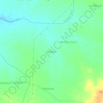
Name: Dholpur topographic map, elevation, terrain.
Location: Dholpur, Kalapipal Tahsil, Shajapur, Madhya Pradesh, India (23.36124 76.79654 23.40124 76.83654)
Average elevation: 1,529 ft
Minimum elevation: 1,490 ft
Maximum elevation: 1,601 ft
Other topographic maps
Click on a map to view its topography, its elevation and its terrain.
Kala Pipal
India > Madhya Pradesh > Kalapipal Tahsil
Kala Pipal, Kalapipal Tahsil, Shajapur, Madhya Pradesh, 465337, India
Average elevation: 1,578 ft