
Shelbyville topographic map
Interactive map
Click on the map to display elevation.
About this map
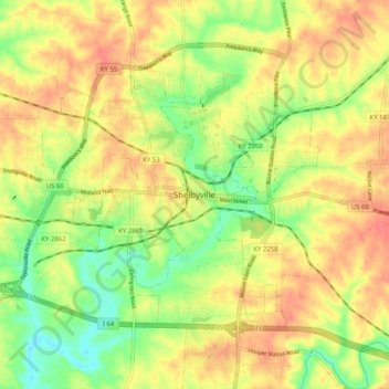
Name: Shelbyville topographic map, elevation, terrain.
Location: Shelbyville, Shelby County, Kentucky, 40065, United States (38.17201 -85.26357 38.25201 -85.18357)
Average elevation: 768 ft
Minimum elevation: 663 ft
Maximum elevation: 850 ft