
Momberg topographic map
Interactive map
Click on the map to display elevation.
About this map
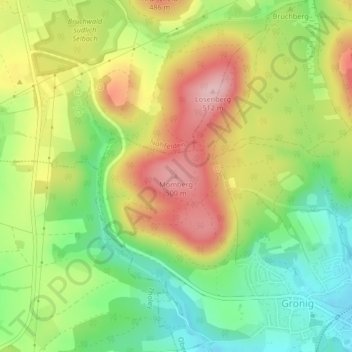
Name: Momberg topographic map, elevation, terrain.
Average elevation: 1,345 ft
Minimum elevation: 1,060 ft
Maximum elevation: 1,680 ft
Other topographic maps
Click on a map to view its topography, its elevation and its terrain.
Oberthal
Deutschland > Saarland > Oberthal
Oberthal, Landkreis St. Wendel, Saarland, 66649, Deutschland
Average elevation: 1,237 ft
Güdesweiler
Deutschland > Saarland > Oberthal
Güdesweiler, Oberthal, Landkreis St. Wendel, Saarland, Deutschland
Average elevation: 1,247 ft