
La Florida topographic map
Interactive map
Click on the map to display elevation.
About this map
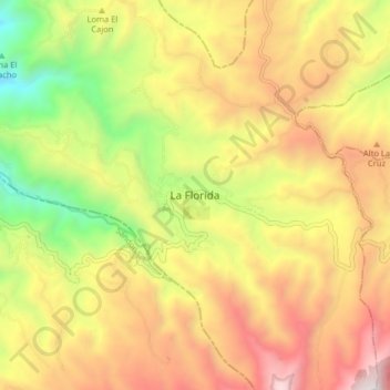
Name: La Florida topographic map, elevation, terrain.
Location: La Florida, Centro, Nariño, Colombie (1.25861 -77.44448 1.33861 -77.36448)
Average elevation: 7,671 ft
Minimum elevation: 4,774 ft
Maximum elevation: 10,440 ft