
Walle topographic map
Interactive map
Click on the map to display elevation.
About this map
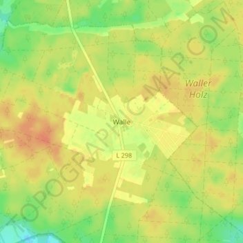
Name: Walle topographic map, elevation, terrain.
Average elevation: 194 ft
Minimum elevation: 121 ft
Maximum elevation: 236 ft
Other topographic maps
Click on a map to view its topography, its elevation and its terrain.
Meißendorf
Deutschland > Niedersachsen > Landkreis Celle > Winsen (Aller)
Meißendorf, Winsen (Aller), Landkreis Celle, Niedersachsen, Deutschland
Average elevation: 138 ft