
Monte Prado topographic map
Interactive map
Click on the map to display elevation.
About this map
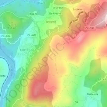
Name: Monte Prado topographic map, elevation, terrain.
Location: Monte Prado, Cortegada, Ourense, Galizia, 32200, Spagna (42.19632 -8.17144 42.21632 -8.15144)
Average elevation: 725 ft
Minimum elevation: 217 ft
Maximum elevation: 1,352 ft