
Bush Mill topographic map
Interactive map
Click on the map to display elevation.
About this map
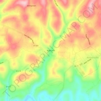
Name: Bush Mill topographic map, elevation, terrain.
Location: Bush Mill, Scott County, Virginia, 24271, USA (36.73566 -82.45543 36.77566 -82.41543)
Average elevation: 1,959 ft
Minimum elevation: 1,581 ft
Maximum elevation: 2,283 ft