
Canton San Pedro de Quemes topographic map
Interactive map
Click on the map to display elevation.
About this map
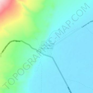
Name: Canton San Pedro de Quemes topographic map, elevation, terrain.
Average elevation: 12,224 ft
Minimum elevation: 12,011 ft
Maximum elevation: 13,123 ft