
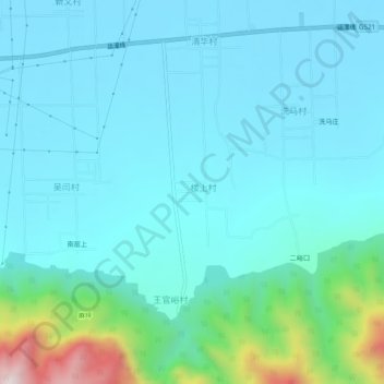
半道 topographic map
Interactive map
Click on the map to display elevation.
About this map
Name: 半道 topographic map, elevation, terrain.
Location: 半道, 楼上村, 永济市, 运城市, 山西省, 中国 (34.82943 110.66474 34.86943 110.70474)
Average elevation: 1,519 ft
Minimum elevation: 1,155 ft
Maximum elevation: 3,589 ft