
Aztaparreta topographic map
Interactive map
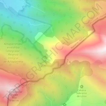
Click on the map to display elevation.
About this map
Name: Aztaparreta topographic map, elevation, terrain.
Location: Aztaparreta, Isaba, Navarra, España (42.90149 -0.81354 42.92149 -0.79354)
Average elevation: 4,921 ft
Minimum elevation: 3,455 ft
Maximum elevation: 6,385 ft
Other topographic maps
Click on a map to view its topography, its elevation and its terrain.