
Jenolan Caves topographic map
Interactive map
Click on the map to display elevation.
About this map
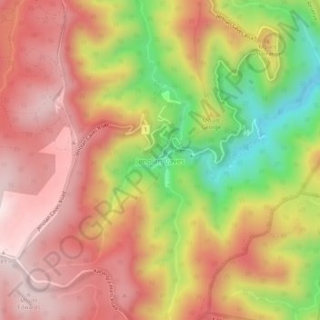
Name: Jenolan Caves topographic map, elevation, terrain.
Location: Jenolan Caves, Oberon Council, New South Wales, Australia (-33.84059 150.00063 -33.80059 150.04063)
Average elevation: 3,402 ft
Minimum elevation: 2,175 ft
Maximum elevation: 4,259 ft