
De Glind topographic map
Interactive map
Click on the map to display elevation.
About this map
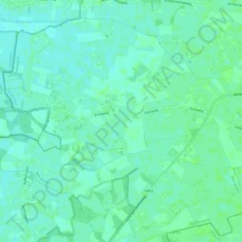
Name: De Glind topographic map, elevation, terrain.
Location: De Glind, Barneveld, Geldern, Niederlande (52.10172 5.48645 52.13405 5.54116)
Average elevation: 23 ft
Minimum elevation: 10 ft
Maximum elevation: 36 ft
Other topographic maps
Click on a map to view its topography, its elevation and its terrain.
Garderen
Niederlande > Geldern > Barneveld
Garderen, Barneveld, Geldern, Niederlande
Average elevation: 112 ft
Kootwijk
Niederlande > Geldern > Barneveld
Kootwijk, Barneveld, Geldern, Niederlande
Average elevation: 95 ft