
Pakat Jeroh topographic map
Interactive map
Click on the map to display elevation.
About this map
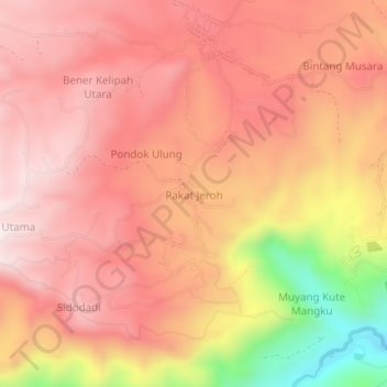
Name: Pakat Jeroh topographic map, elevation, terrain.
Location: Pakat Jeroh, Bandar, Bener Meriah, Aceh, Sumatra, Indonesia (4.70538 96.92582 4.74538 96.96582)
Average elevation: 3,881 ft
Minimum elevation: 2,411 ft
Maximum elevation: 4,560 ft