
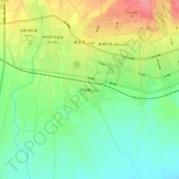
乌恰镇 topographic map
Interactive map
Click on the map to display elevation.
About this map
Name: 乌恰镇 topographic map, elevation, terrain.
Location: 乌恰镇, 库车市, 阿克苏地区, 新疆维吾尔自治区, 中国 (41.65218 82.91746 41.73218 82.99746)
Average elevation: 3,438 ft
Minimum elevation: 3,340 ft
Maximum elevation: 3,609 ft
Other topographic maps
Click on a map to view its topography, its elevation and its terrain.