
哈林格尔镇 topographic map
Interactive map
Click on the map to display elevation.
About this map
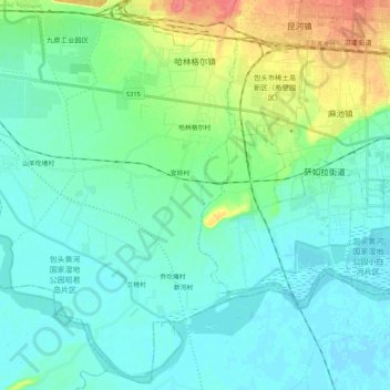
Name: 哈林格尔镇 topographic map, elevation, terrain.
Location: 哈林格尔镇, 九原区, 包头市, 内蒙古自治区, 014000, 中国 (40.46896 109.56037 40.62138 109.76888)
Average elevation: 3,337 ft
Minimum elevation: 3,294 ft
Maximum elevation: 3,478 ft
Other topographic maps
Click on a map to view its topography, its elevation and its terrain.