
渔子溪 topographic map
Interactive map
Click on the map to display elevation.
About this map
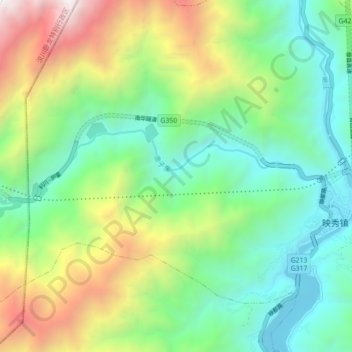
Name: 渔子溪 topographic map, elevation, terrain.
Location: 渔子溪, 映秀镇, 汶川卧龙特别行政区, 汶川县, 阿坝藏族羌族自治州, 四川省, 623000, 中国 (31.05641 103.40098 31.07626 103.48933)
Average elevation: 5,505 ft
Minimum elevation: 2,746 ft
Maximum elevation: 11,257 ft