
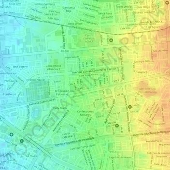
Parque Papa Benedicto XVI topographic map
Interactive map
Click on the map to display elevation.
About this map
Name: Parque Papa Benedicto XVI topographic map, elevation, terrain.
Average elevation: 108 ft
Minimum elevation: 49 ft
Maximum elevation: 167 ft
Other topographic maps
Click on a map to view its topography, its elevation and its terrain.
Provincia Constitucional del Callao
Provincia Constitucional del Callao, Callao, 07021, Perú
Average elevation: 7 ft