
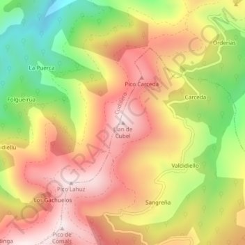
Llan de Cubel topographic map
Interactive map
Click on the map to display elevation.
About this map
Name: Llan de Cubel topographic map, elevation, terrain.
Location: Llan de Cubel, Pravia, Asturias, 33866, España (43.51423 -6.21809 43.51433 -6.21799)
Average elevation: 1,398 ft
Minimum elevation: 367 ft
Maximum elevation: 2,208 ft
Other topographic maps
Click on a map to view its topography, its elevation and its terrain.