
Jambudoi topographic map
Interactive map
Click on the map to display elevation.
About this map
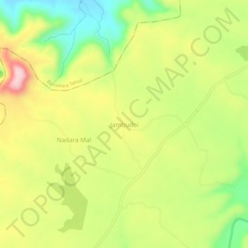
Name: Jambudoi topographic map, elevation, terrain.
Location: Jambudoi, Abapura Tehsil, Banswara District, Rajasthan, India (23.37085 74.43372 23.41085 74.47372)
Average elevation: 1,289 ft
Minimum elevation: 909 ft
Maximum elevation: 1,699 ft
Other topographic maps
Click on a map to view its topography, its elevation and its terrain.
Abapura
India > Rajasthan > Abapura Tehsil
Abapura, Abapura Tehsil, Banswara District, Rajasthan, India
Average elevation: 1,017 ft