
Seirós topographic map
Interactive map
Click on the map to display elevation.
About this map
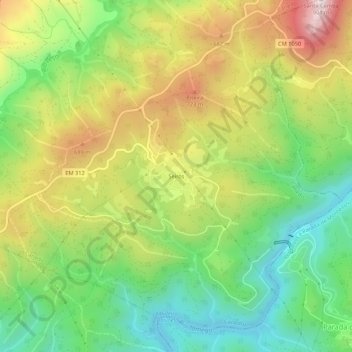
Name: Seirós topographic map, elevation, terrain.
Location: Seirós, Canedo, Ribeira de Pena, Vila Real, Portugal (41.56162 -7.76798 41.60162 -7.72798)
Average elevation: 1,637 ft
Minimum elevation: 725 ft
Maximum elevation: 2,890 ft