
Bukkerup topographic map
Interactive map
Click on the map to display elevation.
About this map
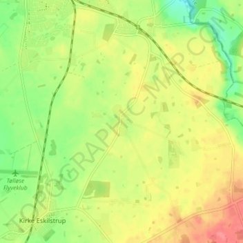
Name: Bukkerup topographic map, elevation, terrain.
Location: Bukkerup, Holbæk Municipality, Region Zealand, 4360, Denmark (55.57006 11.77106 55.61006 11.81106)
Average elevation: 157 ft
Minimum elevation: 49 ft
Maximum elevation: 262 ft