
Monasterio topographic map
Interactive map
Click on the map to display elevation.
About this map
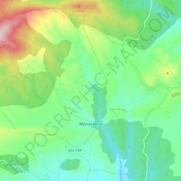
Name: Monasterio topographic map, elevation, terrain.
Location: Monasterio, Guadalajara, Castilla-La Mancha, España (40.96901 -3.15380 41.02394 -3.07304)
Average elevation: 3,360 ft
Minimum elevation: 2,808 ft
Maximum elevation: 4,649 ft