
Le Petit Bois topographic map
Interactive map
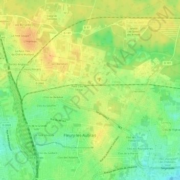
Click on the map to display elevation.
About this map
Name: Le Petit Bois topographic map, elevation, terrain.
Average elevation: 407 ft
Minimum elevation: 344 ft
Maximum elevation: 453 ft
Other topographic maps
Click on a map to view its topography, its elevation and its terrain.
Clos du Gaillard
France > Centre-Val de Loire > Loiret > Fleury-les-Aubrais
Clos du Gaillard, Fleury-les-Aubrais, Orléans, Loiret, Centre-Val de Loire, France métropolitaine, 45400, France
Average elevation: 390 ft
Le Chène Rond
France > Centre-Val de Loire > Loiret > Fleury-les-Aubrais
Le Chène Rond, Fleury-les-Aubrais, Orléans, Loiret, Centre-Val de Loire, France métropolitaine, 45400, France
Average elevation: 410 ft