
天目山景区 topographic map
Interactive map
Click on the map to display elevation.
About this map
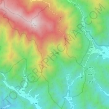
Name: 天目山景区 topographic map, elevation, terrain.
Location: 天目山景区, 门西线, 天目山镇, 临安区, 杭州市, 浙江省, 中国 (30.30877 119.40403 30.36052 119.45363)
Average elevation: 2,326 ft
Minimum elevation: 728 ft
Maximum elevation: 4,856 ft