Geolocate

Roux topographic map

Click on the map to display elevation.

About this map
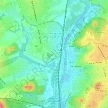
Name: Roux topographic map, elevation, terrain.

Location: Roux, Charleroi, Hainaut, Wallonia, 6044, Belgium (50.42659 4.36252 50.45705 4.40841)

Average elevation: 443 ft

Minimum elevation: 338 ft

Maximum elevation: 604 ft

Gear up for your next adventure:

🛶Inflatable Kayak - Portable kayak for rivers, lakes, and expeditions
🪶Paracord Bracelet - Survival bracelet with built‑in tools
📶Satellite Messenger - Communication device off‑grid
🛏️Cold Weather Sleeping Bag - Warm sleeping bag for cold conditions
🧥Waterproof Jacket for Hiking - Breathable and rugged rain jacket for outdoor excursions

As an Amazon Associate, this site earns from qualifying purchases at no extra cost to you.