
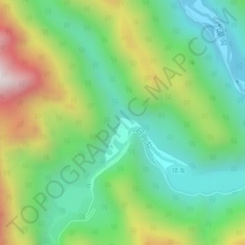
珍珠滩瀑布 topographic map
Interactive map
Click on the map to display elevation.
About this map
Name: 珍珠滩瀑布 topographic map, elevation, terrain.
Location: 珍珠滩瀑布, 九寨沟县, 阿坝藏族羌族自治州, 四川省, 中国 (33.16833 103.88478 33.16843 103.88488)
Average elevation: 8,622 ft
Minimum elevation: 7,556 ft
Maximum elevation: 10,643 ft
Other topographic maps
Click on a map to view its topography, its elevation and its terrain.