
Lindsay topographic map
Interactive map
Click on the map to display elevation.
About this map
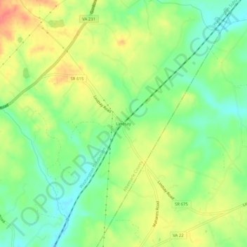
Name: Lindsay topographic map, elevation, terrain.
Location: Lindsay, Albemarle County, Virginia, 22942:23093, USA (38.06819 -78.26639 38.10819 -78.22639)
Average elevation: 505 ft
Minimum elevation: 417 ft
Maximum elevation: 614 ft