Geolocate

Sarah topographic map

Click on the map to display elevation.

About this map

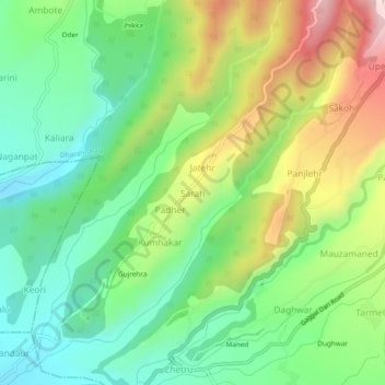
Name: Sarah topographic map, elevation, terrain.

Location: Sarah, Dharamshala, Kangra, Himachal Pradesh, 176209, India (32.15865 76.27365 32.19865 76.31365)

Average elevation: 2,953 ft

Minimum elevation: 2,425 ft

Maximum elevation: 3,855 ft

Gear up for your next adventure:

💧Water Filtration Bottles - Safely drink from streams and lakes while exploring
🌲Outdoor Survival Books - Best books on survival skills
🗻Climbing Gear Basics - Essential gear for beginner climbers
🪑Portable Camp Table - Compact table for campsite meals
🚪Portable Camp Chair - Foldable chair for comfort at camp

As an Amazon Associate, this site earns from qualifying purchases at no extra cost to you.