
Brindaban topographic map
Interactive map
Click on the map to display elevation.
About this map
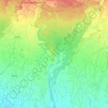
Name: Brindaban topographic map, elevation, terrain.
Location: Brindaban, Rautahat, Madhesh Province, Nepal (26.97151 85.27726 27.11737 85.45213)
Average elevation: 351 ft
Minimum elevation: 285 ft
Maximum elevation: 472 ft
Other topographic maps
Click on a map to view its topography, its elevation and its terrain.