
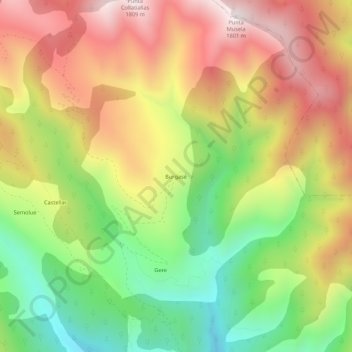
Burgasé topographic map
Interactive map
Click on the map to display elevation.
About this map
Name: Burgasé topographic map, elevation, terrain.
Location: Burgasé, Fiscal, Sobrarbe, Huesca, Aragón, España (42.50354 -0.04624 42.54354 -0.00624)
Average elevation: 4,232 ft
Minimum elevation: 2,657 ft
Maximum elevation: 5,837 ft