Geolocate

Kushinagar topographic map

Click on the map to display elevation.

About this map

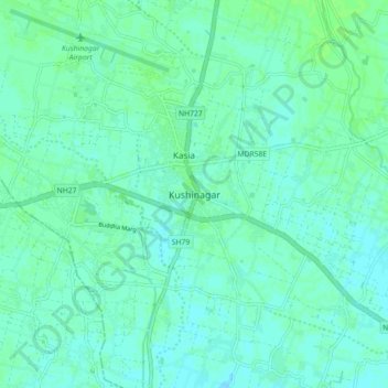
Name: Kushinagar topographic map, elevation, terrain.

Location: Kushinagar, Kasya, Kushinagar, Uttar Pradesh, 274402, India (26.70383 83.87623 26.78383 83.95623)

Average elevation: 262 ft

Minimum elevation: 249 ft

Maximum elevation: 276 ft

Gear up for your next adventure:

🛡️Insect Repellent - Protection against bugs during outdoor activities
🔥Camping Stove - Portable stove for camping and backcountry cooking
🎒Gear Packing Cubes - Organize your backpack efficiently
🥩Freeze-Dried Meals - Nutritious and lightweight food for remote expeditions
🥄Camping Utensil Set - Lightweight utensils for outdoor meals

As an Amazon Associate, this site earns from qualifying purchases at no extra cost to you.