
Flor Amarillo topographic map
Interactive map
Click on the map to display elevation.
About this map
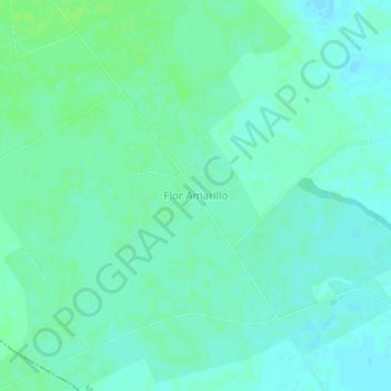
Name: Flor Amarillo topographic map, elevation, terrain.
Location: Flor Amarillo, Distrito Ricaurte, Cojedes, Venezuela (9.37085 -68.59977 9.41085 -68.55977)
Average elevation: 295 ft
Minimum elevation: 282 ft
Maximum elevation: 308 ft