
خاوه topographic map
Interactive map
Click on the map to display elevation.
About this map
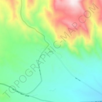
Name: خاوه topographic map, elevation, terrain.
Location: خاوه, بخش مرکزی, Delijan County, Markazi Province, Iran (34.04076 50.94421 34.08076 50.98421)
Average elevation: 7,037 ft
Minimum elevation: 6,352 ft
Maximum elevation: 8,274 ft