
Punto Union topographic map
Interactive map
Click on the map to display elevation.
About this map
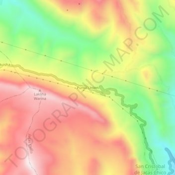
Name: Punto Union topographic map, elevation, terrain.
Location: Punto Union, Jacas Chico, Yarowilca, Huánuco, Perú (-9.88758 -76.53778 -9.84758 -76.49778)
Average elevation: 13,009 ft
Minimum elevation: 11,768 ft
Maximum elevation: 14,072 ft