Geolocate

Sutton topographic map

Click on the map to display elevation.

About this map

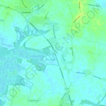
Name: Sutton topographic map, elevation, terrain.

Location: Sutton, North Norfolk, Norfolk, England, United Kingdom (52.74542 1.49799 52.77233 1.55383)

Average elevation: 13 ft

Minimum elevation: -3 ft

Maximum elevation: 43 ft

Other topographic maps

Click on a map to view its topography, its elevation and its terrain.

Hempstead

United Kingdom > England > Norfolk > North Norfolk

Average elevation: 223 ft

Gear up for your next adventure:

🧯Portable Fire Pit - Compact fire pit for camping spots
🛡️Bear Spray Outdoor - Protection in bear country hikes
🛡️Insect Repellent - Protection against bugs during outdoor activities
🛌Ultralight Sleeping Bags - Compact down bags for cold nights in the wilderness
🥇GPS Hiking Watch - Multi‑sport GPS watch with navigation and trail tracking

As an Amazon Associate, this site earns from qualifying purchases at no extra cost to you.