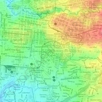
González Lahmann topographic map
Interactive map
Click on the map to display elevation.
About this map
Name: González Lahmann topographic map, elevation, terrain.
Average elevation: 3,816 ft
Minimum elevation: 3,688 ft
Maximum elevation: 3,963 ft

Click on the map to display elevation.
Name: González Lahmann topographic map, elevation, terrain.
Average elevation: 3,816 ft
Minimum elevation: 3,688 ft
Maximum elevation: 3,963 ft