
Glenwood topographic map
Interactive map
Click on the map to display elevation.
About this map
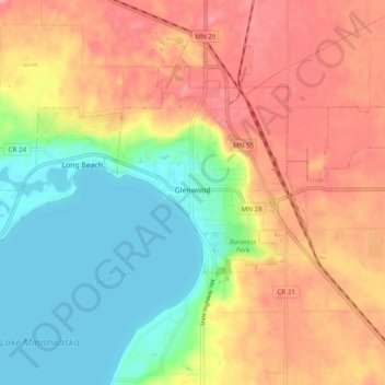
Name: Glenwood topographic map, elevation, terrain.
Location: Glenwood, Pope County, Minnesota, United States (45.62151 -95.41191 45.67785 -95.31497)
Average elevation: 1,296 ft
Minimum elevation: 1,132 ft
Maximum elevation: 1,457 ft