
Mirzapur topographic map
Interactive map
Click on the map to display elevation.
About this map
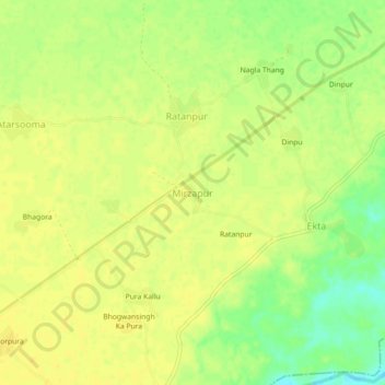
Name: Mirzapur topographic map, elevation, terrain.
Location: Mirzapur, Baseri Tehsil, Dhaulpur, Rajasthan, India (26.76416 77.61115 26.80416 77.65115)
Average elevation: 623 ft
Minimum elevation: 571 ft
Maximum elevation: 640 ft
Other topographic maps
Click on a map to view its topography, its elevation and its terrain.
Mechauli
India > Rajasthan > Baseri Tehsil > Baseri
Mechauli, Baseri, Baseri Tehsil, Dhaulpur District, Rajasthan, India
Average elevation: 666 ft