
Pawnee topographic map
Interactive map
Click on the map to display elevation.
About this map
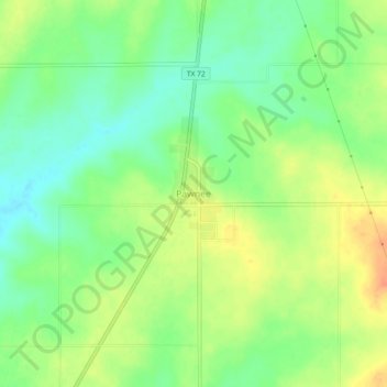
Name: Pawnee topographic map, elevation, terrain.
Location: Pawnee, Bee County, Texas, 78145, United States (28.63368 -98.02331 28.67368 -97.98331)
Average elevation: 367 ft
Minimum elevation: 305 ft
Maximum elevation: 436 ft
Other topographic maps
Click on a map to view its topography, its elevation and its terrain.
Beeville
United States > Texas > Bee County
Beeville, Bee County, Texas, United States
Average elevation: 246 ft