
Sparks topographic map
Interactive map
Click on the map to display elevation.
About this map
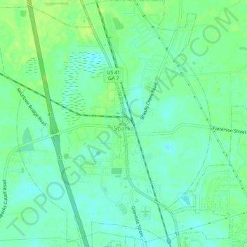
Name: Sparks topographic map, elevation, terrain.
Location: Sparks, Cook County, Georgia, 31647, United States (31.14910 -83.45999 31.18588 -83.42232)
Average elevation: 243 ft
Minimum elevation: 220 ft
Maximum elevation: 266 ft
Other topographic maps
Click on a map to view its topography, its elevation and its terrain.
Adel
United States > Georgia > Cook County
Adel, Cook County, Georgia, 31620, United States
Average elevation: 236 ft