
Lac Caro topographic map
Interactive map
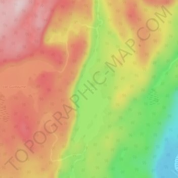
Click on the map to display elevation.
About this map
Name: Lac Caro topographic map, elevation, terrain.
Average elevation: 906 ft
Minimum elevation: 318 ft
Maximum elevation: 1,335 ft
Other topographic maps
Click on a map to view its topography, its elevation and its terrain.
Rivière Pentecôte
Canada > Québec > Sept-Rivières > Port-Cartier
Rivière Pentecôte, Port-Cartier, Sept-Rivières, Côte-Nord, Québec, Canada
Average elevation: 394 ft
Lac Donaldson
Canada > Québec > Sept-Rivières > Port-Cartier
Lac Donaldson, Port-Cartier, Sept-Rivières, Côte-Nord, Québec, Canada
Average elevation: 971 ft