
永寧圍 topographic map
Interactive map
Click on the map to display elevation.
About this map
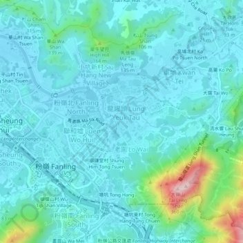
Name: 永寧圍 topographic map, elevation, terrain.
Location: 永寧圍, 龍躍頭, 北區, 新界, 香港, 中国 (22.48189 114.13009 22.52189 114.17009)
Average elevation: 171 ft
Minimum elevation: 3 ft
Maximum elevation: 1,119 ft