
湖北重庆边界 topographic map
Interactive map
Click on the map to display elevation.
About this map
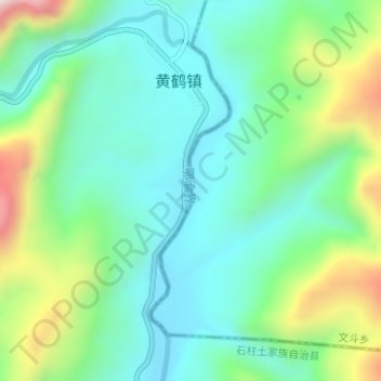
Name: 湖北重庆边界 topographic map, elevation, terrain.
Location: 湖北重庆边界, 黄鹤镇, 石柱土家族自治县, 渝东南武陵山区城镇群区位, 重庆市, 中国 (29.82143 108.36257 29.84192 108.36905)
Average elevation: 2,575 ft
Minimum elevation: 2,047 ft
Maximum elevation: 3,914 ft