
Obersalzberg topographic map
Interactive map
Click on the map to display elevation.
About this map
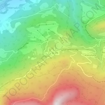
Name: Obersalzberg topographic map, elevation, terrain.
Average elevation: 3,061 ft
Minimum elevation: 1,709 ft
Maximum elevation: 4,856 ft
Other topographic maps
Click on a map to view its topography, its elevation and its terrain.
Untersalzberg I
Deutschland > Bayern > Landkreis Berchtesgadener Land > Berchtesgaden > Untersalzberg I
Untersalzberg I, Berchtesgaden, Landkreis Berchtesgadener Land, Bayern, 83471, Deutschland
Average elevation: 2,487 ft