
Haa District topographic map
Interactive map
Click on the map to display elevation.
About this map
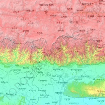
Name: Haa District topographic map, elevation, terrain.
Location: Haa District, Bhutan (24.79967 86.67576 29.91967 91.79576)
Average elevation: 8,310 ft
Minimum elevation: 7 ft
Maximum elevation: 27,228 ft