
مامزاوە topographic map
Interactive map
Click on the map to display elevation.
About this map
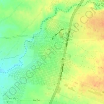
Name: مامزاوە topographic map, elevation, terrain.
Location: مامزاوە, Erbil, Iraqi Kurdistan, 44001, Iraq (36.11541 43.95340 36.13363 43.97267)
Average elevation: 1,243 ft
Minimum elevation: 1,181 ft
Maximum elevation: 1,293 ft