
Ramalde topographic map
Interactive map
Click on the map to display elevation.
About this map
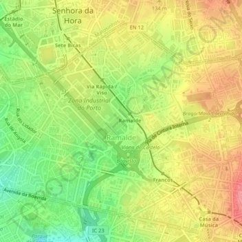
Name: Ramalde topographic map, elevation, terrain.
Location: Ramalde, Porto, Área Metropolitana do Porto, North, Portugal (41.15976 -8.66300 41.18433 -8.62268)
Average elevation: 266 ft
Minimum elevation: 115 ft
Maximum elevation: 400 ft