
Amassine topographic map
Interactive map
Click on the map to display elevation.
About this map
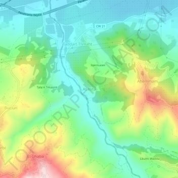
Name: Amassine topographic map, elevation, terrain.
Location: Amassine, Daïra Amizour, Béjaïa, 06000, Algérie (36.60704 4.83313 36.64704 4.87313)
Average elevation: 564 ft
Minimum elevation: 98 ft
Maximum elevation: 1,535 ft