
Bandarban topographic map
Interactive map
Click on the map to display elevation.
About this map
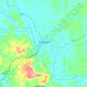
Name: Bandarban topographic map, elevation, terrain.
Location: Bandarban, Bandarban District, Chattogram Division, Bangladesh (22.15630 92.17989 22.23630 92.25989)
Average elevation: 220 ft
Minimum elevation: 10 ft
Maximum elevation: 994 ft