
Melborn topographic map
Interactive map
Click on the map to display elevation.
About this map
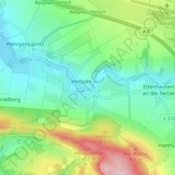
Name: Melborn topographic map, elevation, terrain.
Location: Melborn, Wartburgkreis, Thüringen, 99820, Duitsland (50.95414 10.42876 50.99414 10.46876)
Average elevation: 997 ft
Minimum elevation: 751 ft
Maximum elevation: 1,552 ft